Place Names of the Northern Range
Map for Yellowstone Wildlife Watchersby Dr. Nathan Varley
Dec. 7, 2010
This product should help with deciphering many references made to unofficial place names.
The map is 36 x 14 and the actual map area is 36 x 12 inches. The map covers the area from Mammoth to Barronette Peak. If you can see it from the road, then the map covers it. New names arise all the time, though.
This topographical map has the road in black and the pertinent pullouts and points of interest in red. It is easy to read. There is a numbered reference guide on the map for all the named places and pullouts. The clear topo lines make it easy to find known sites along the road.
The map is suitable for framing. It comes in three versions:
1. A 24 # bond (paper) map which is not water resistant but is great for indoor use or used in a car.
2. A water resistant and durable tear proof paper that has color fast print. You can roll it up easily. Great for field work or a backpack.
3. A paper map that is laminated with a heavier plasticized material that is water proof. For those of you that want to stand in the rain and play cartographer.
100% of the profits from the sales of these maps will be donated to the NPS Wolf Project.
This is great tool for anyone interested in following the Laurie Lyman wolf reports.
See the attached form for ordering.
Thanks for your interest
Pete Murray
Photos
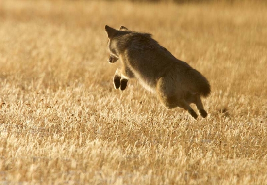
Flying Coyote